Profile

Brief CV


Katerina Bibisidou was born and raised in Orestiada, Evros, and is a graduate of the Polytechnic School of the Aristotle University of Thessaloniki, Department of Rural Surveying Engineering.

She holds a master's degree in Modern Geodetic Applications.

She is also a Certified Licensed Energy Inspector.

Attends seminars on new developments in science and new technologies. She is constantly informed about the changes in the Greek legislation related to the services She provides.

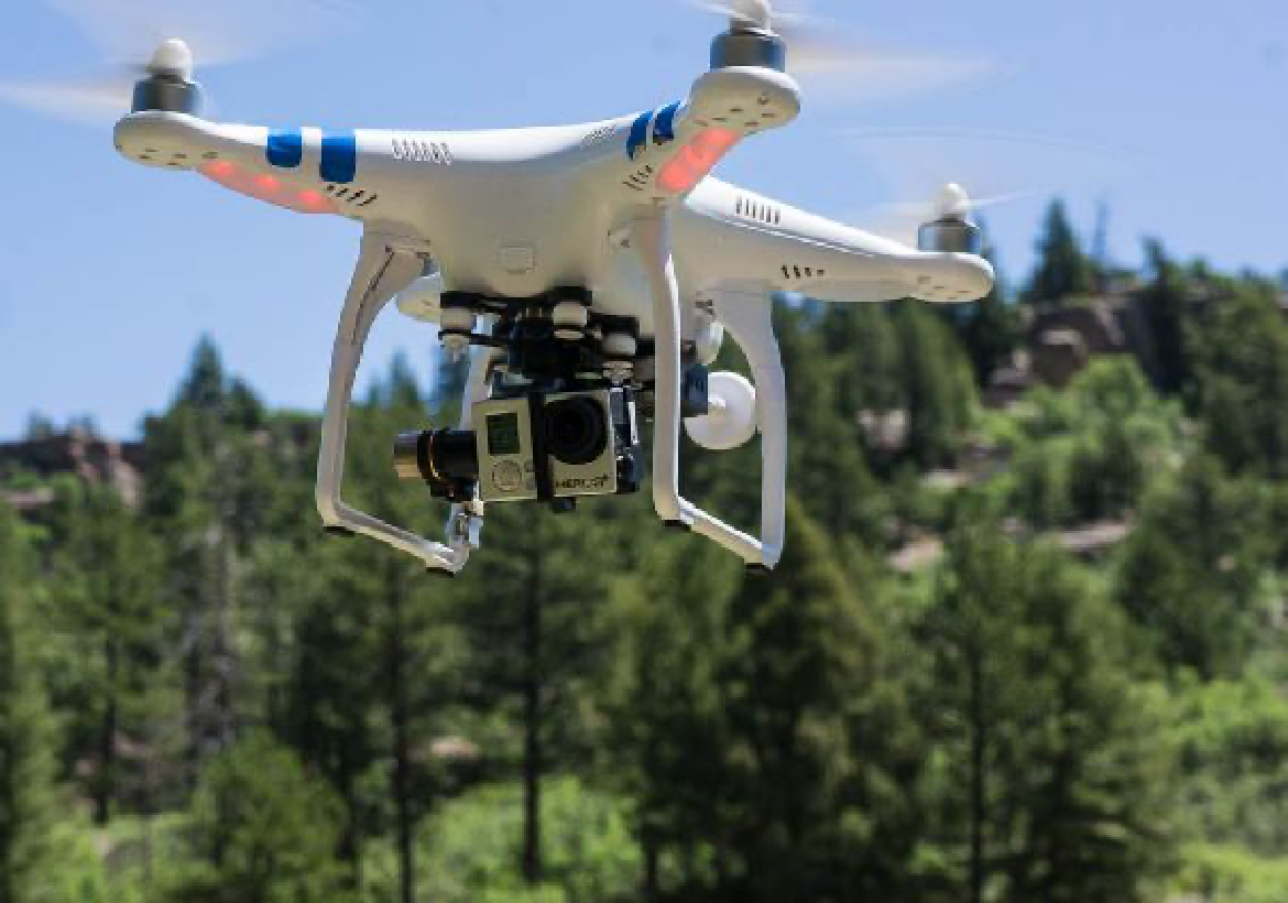
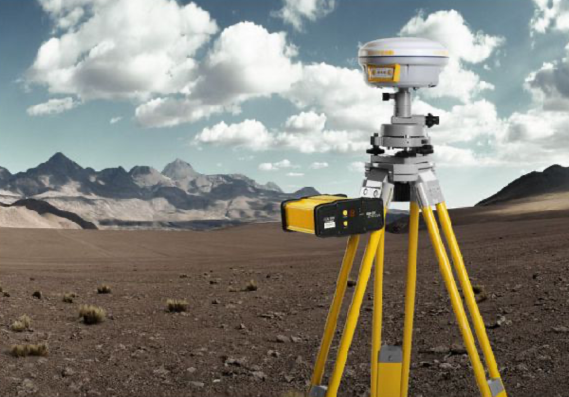
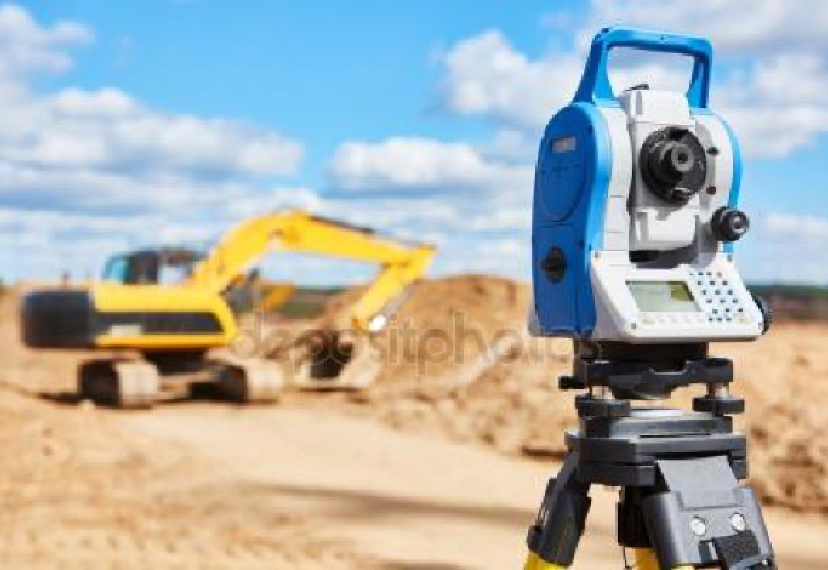
She has many years of experience in topographic and urban applications and field measurements.

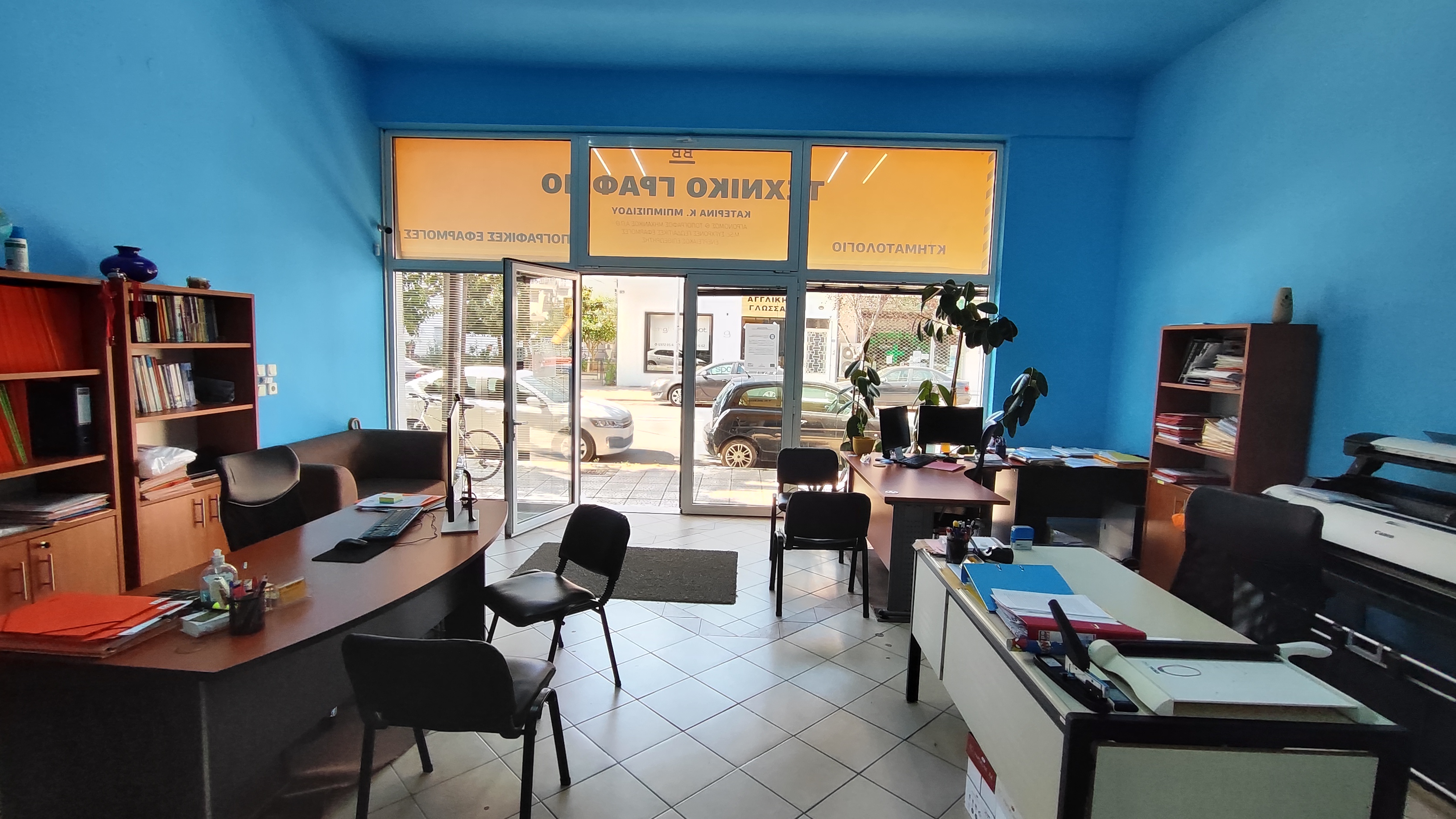
She worked in Topographic Survey Offices in Thessaloniki and then operated with her own technical office in the center of Thessaloniki.

She is now active in the prefecture of Evros with a Technical Office of Topographic and other Urban Applications in Orestiada.

She maintains a network of collaborating Engineers in Northern Greece.

Since 2019 it has entered dynamically in the field of RES. participating in the development and construction of 60 Photovoltaic Parks of 100 Kw, 8 Photovoltaic Parks of 500 Kw and 1 energy community 1 Mw in the area of Northern Evros.

In 2020 we started the development of a 500 Mw project in the area of Soufli which has received a producer license.

Also in 2020-2021 we developed a total of 108 Mw in parks over 1 Mw in the area of Evros.

And we go on!


EQUIPMENT


We use state-of-the-art equipment with high accuracy and reliability

WORK STATION - SOFTWARE

WORK STATION - SOFTWARE

COMPUTING POWER

4 X WORKSTATION HP Z400 8 CORES XEON PC, LAPTOP WORKSTATION HP,Topografic survey calculating software DELSURVEY, 2D and 3D CAD software ZWCAD 2022 και AUTOCAD 2023,  AUTOKENAK κ.α.

DRONE

DRONE

ΑΕΡΟΦΩΤΟΓΡΑΦΗΣΕΙΣ

DJI PHANTOM 2 Remote Control DRONE Helicopter equipped with GPS, gyroscopic three-dimensional 3D camera stabilization arm, GOPRO HERO3 + BLACK EDITION camera, with the ability to capture ultra-high resolution video and photos.

TOPOGRAPHIC GPS SOUTH G1

TOPOGRAPHIC GPS SOUTH G1

TOPOGRAPHIC APLICATIONS

Topographic GPS SOUTH G1 two frequencies, use of GPS satellites, GLONASS and GALILEO, BEIDOU high precision, with mobile internet connection in the nationwide network of permanent GNSS reference stations The U.R.A.N.U.S. of TREE COMPANY CO. AEBE is a GNSS network of permanent reference stations with subscription use that provides high quality GPS, GLONASS, GALILEO, BEIDOU corrections with ground stations, with precision RTK - NRTK (1 - 3 cm 3D), Network resolution and correction, Network integration in HEPOS HTRS07 system for perfect coordinate matching and field design and resolution software.

GEODETIC STATION

GEODETIC STATION FOCUS SPECTRA 6+ 5

TOPOGRAPHIC APPLICATIONS FOCUS SPECTRA 6+ 5

FOCUS SPECTRA 6+ 5 ”high precision geodetic station with measurement technology and without prism, accuracy, 15cc ± (2 + 2ppm x D) mm characterized by speed, accuracy and high reliability. Functional WINDOWS and field measurement and design software.