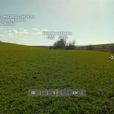
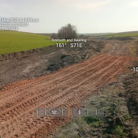
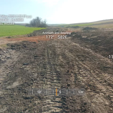
THYREA CURRENT ADJUSTMENT
Our office undertook the following tasks:
Topographic - elevation diagram dependent on a national grid of coordinates (EGSA ’87)
Technical Report that proposes the boundary lines of the stream and is based on:
Hydrological data - study
Hydraulic components - study and
Environmental data - study accompanying this technical report
Deposit in services, study approval
Condition: Complete


